Rand McNally’s First Comprehensive Road Atlas - April 15, 1924
On April 15, 1924, Rand McNally, an established American publishing company, revolutionized the navigation landscape for motorists with the release of its first comprehensive road atlas. This publication became a staple for drivers across the United States, setting a new standard for road mapping and travel guidance at a time when the nation’s road network was rapidly expanding.
Context and Background
By the early 1920s, the United States was experiencing a significant transformation in transportation. The mass production of affordable automobiles by companies like Ford Motor Company had led to an increase in vehicle ownership and, consequently, a growing need for reliable navigation tools to traverse the burgeoning network of roads and highways.
Rand McNally, initially founded in 1856 as a printing and stationery business, had gradually shifted its focus to mapping and travel guides. Its expertise in this field positioned the company to capitalize on the increasing demand for accurate and accessible roadway information.
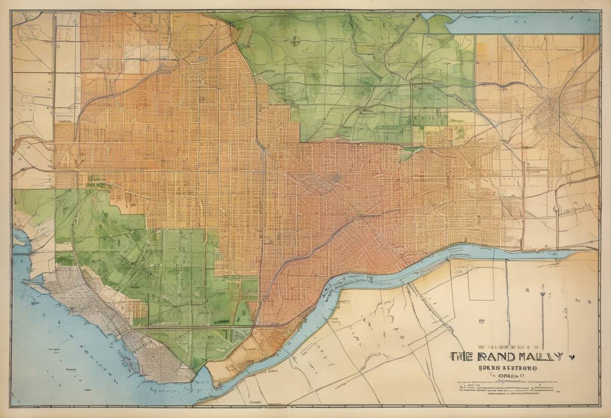
Key Features of the Atlas
The 1924 road atlas was the first of its kind to provide a comprehensive and organized layout of the nation’s roads, catering specifically to motorists. Key features included:
Detailed Road Maps: The atlas offered a series of state-by-state road maps that provided extensive detail on road conditions, routes, and distances, critical for long-distance travel.
User-Friendly Format: Designed with usability in mind, the atlas included a detailed index and an easy-to-follow system to assist travelers in navigation.
Points of Interest: Aside from roads, the atlas also identified key landmarks and points of interest, aiding travelers in planning their journeys and stops along the way.
Impact and Legacy
Rand McNally’s road atlas quickly became an indispensable tool for American motorists. It not only facilitated personal travel but also influenced the development of the country’s infrastructure by highlighting important travel routes and roads that required improvements.
The success of this atlas marked the beginning of a long-standing tradition of providing detailed travel information to the public, a legacy that continues to this day. Rand McNally has since maintained its position as a leader in maps and navigation, adapting through the years to advancements in digital mapping technologies while still catering to users who appreciate traditional paper maps.
Broader Historical Significance
The release of Rand McNally’s 1924 road atlas coincided with major developments in American infrastructure. The 1920s saw the introduction of the numbered U.S. Highway System, which further standardized road travel across the country. The atlas played an important role in popularizing road trips and promoting the automobile as the primary mode of personal transport, contributing to the cultural phenomenon of the American road trip.
In summary, Rand McNally’s comprehensive road atlas, published on April 15, 1924, was a pivotal milestone in the history of American travel, offering innovative navigation solutions that met the needs of an increasingly mobile population and laying the groundwork for future advancements in travel mapping.