Northern California Earthquake of December 19, 2022
2022 · Ferndale, United States
A magnitude 6.4 earthquake struck Northern California, causing widespread damage, power outages, and two fatalities.
February 27, 1879
The United States Geological Survey (USGS) is established. This scientific agency of the U.S. government was created to study the landscape of the United States, its natural resources, and the environment.
Washington, D.C., USA | United States Geological Survey
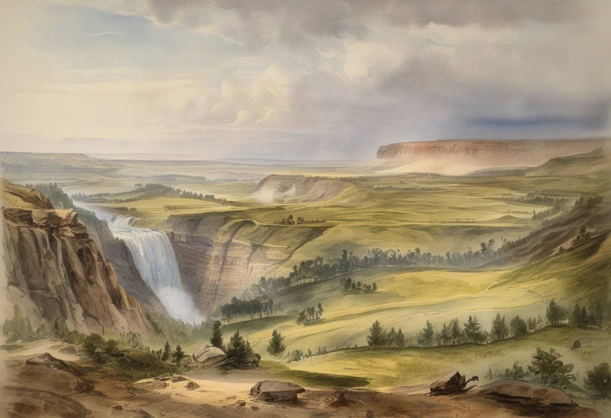
On February 27, 1879, the United States Geological Survey (USGS) was established as a scientific agency of the U.S. government. This pivotal development was part of the growing need to understand and catalog the expansive and diverse natural landscapes of the United States, along with its abundant natural resources.
The inception of the USGS was closely tied to the American westward expansion and the post-Civil War era’s growing industrial demands, which highlighted the necessity for a systematic approach to mapping and evaluating the nation’s geological resources. Exploration and economic development of mineral resources, such as coal, oil, and precious metals, were of paramount importance during this period.
In 1879, Congress passed legislation that reorganized the Department of the Interior, creating the USGS as part of this process. This legislation was fueled by the need for comprehensive surveys that could inform government policy and facilitate economic development.
Upon its establishment, the USGS was tasked with the following key objectives:
The USGS provided a standardized scientific approach to mapping and resource evaluation, impacting a wide array of industries including mining, agriculture, and urban planning.
The creation of the USGS marked the beginning of systematic geological surveys that have since delivered an indispensable trove of data used for natural resource management, land stewardship, and environmental conservation. Throughout its history, the USGS has been instrumental in:
The establishment of the USGS has had enduring implications for both scientific research and public policy in the United States. Its establishment ensured that governmental and industrial activities could proceed with grounded scientific knowledge, thus facilitating balanced development that considers both economic and environmental aspects.
Today, with an expanded scope beyond geology into hydrology, biology, and geography, the USGS remains a cornerstone of the nation’s efforts to understand and manage its natural resources. The agency continues to employ cutting-edge science to address contemporary issues of resource management and environmental challenges, maintaining its foundational role in informing both public and private sector decisions.
Source: www.usgs.gov